Difference between revisions of "File:1st half Beilau Plan 1916 sized.jpg"
From Carrick-Overbrook Historical Society
(This is the 1916 Beilau Plan between Agnew Avenue and Hornaday Road from Rehman Street to just below Redrose Avenue.) |
(No difference)
|
Revision as of 09:04, 6 July 2008
This is the 1916 Beilau Plan between Agnew Avenue and Hornaday Road from Rehman Street to just below Redrose Avenue.
File history
Click on a date/time to view the file as it appeared at that time.
| Date/Time | Thumbnail | Dimensions | User | Comment | |
|---|---|---|---|---|---|
| current | 09:04, 6 July 2008 | 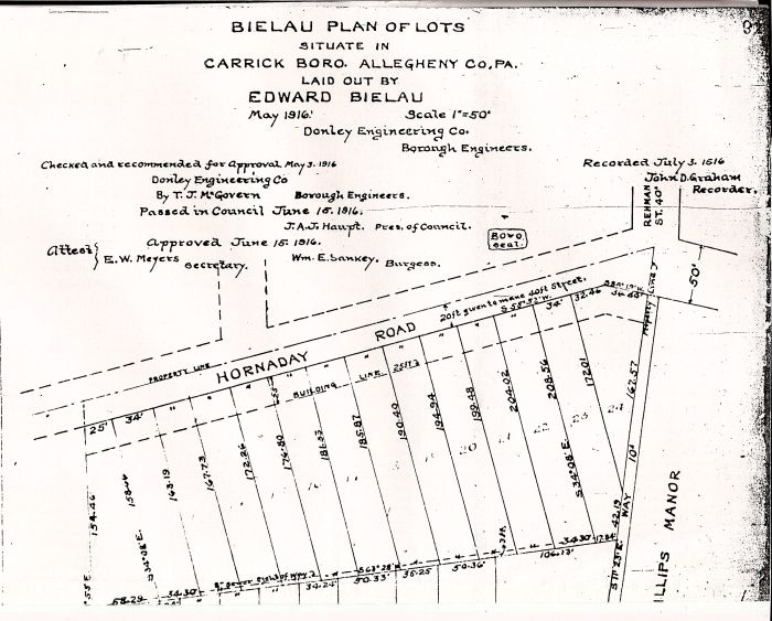 | 700 × 563 (83 KB) | Jrudiak (Talk | contribs) | This is the 1916 Beilau Plan between Agnew Avenue and Hornaday Road from Rehman Street to just below Redrose Avenue. |
- You cannot overwrite this file.
File usage
The following 2 pages link to this file: